
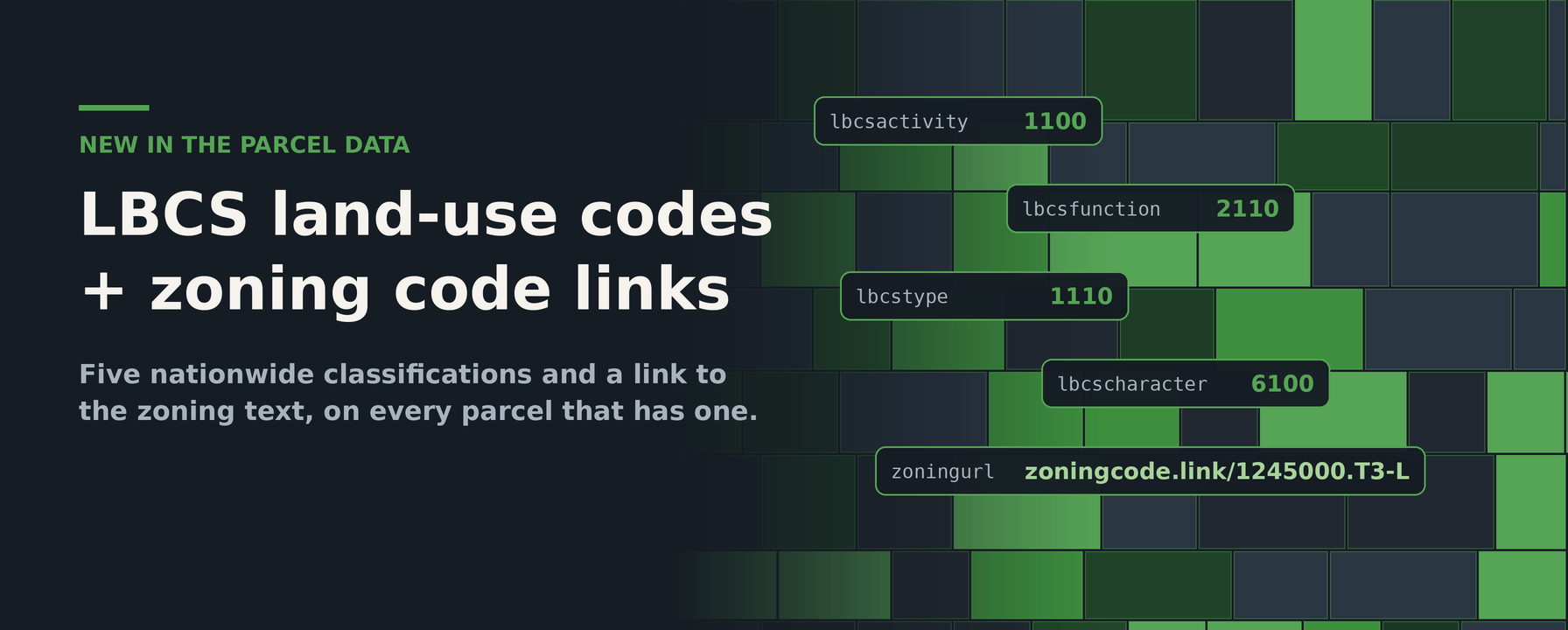
Every county names its land uses differently. One assessor’s “100” is single-family, another’s is vacant residential, and a third uses letters. Today we’re adding two things to the parcel dataset that make those differences easier to work around: five nationwide LBCS land-use code columns, and a zoningurl column that links a parcel to the text of its zoning code.
LBCS: one vocabulary for every county
The American Planning Association’s Land-Based Classification Standards describe land along five independent dimensions. We now publish a code for each one, so the same number means the same thing in Miami-Dade and in Cornish, Maine:
lbcsactivity— what physically takes place on the land (activity).lbcsfunction— the economic use or type of establishment (function).lbcstype— the kind of structure or building (structure type).lbcscharacter— the overall physical development of the site (site development character).lbcsownership— legal and quasi-legal ownership constraints (ownership).
The columns are integers, four digits each, with the leading digit as the broad category and later digits narrowing it down. A lbcsactivity of 1100 and one of 1000 are both residential activity; 2000 is shopping, business, or trade. Our documentation carries the full code tables for all five dimensions, including the APA’s category descriptions. Use them in place of usecode and usedesc when you need to compare across counties.
zoningurl: from a zoning code to its text
zoningcode tells you a parcel is in district T3-L; it doesn’t tell you what T3-L permits. zoningurl does the next step for you. It’s a link to the zoning code text for the parcel’s district, built from the Census place the parcel sits in (the new placefp column) and the code, for example https://zoningcode.link/1245000.T3-L. Where we don’t have a link for a jurisdiction, the value is NULL.
See them in the data explorer
The data explorer’s county sample table now shows all six columns. Each LBCS value links to the section of the matching documentation page for that code’s category, and each zoningurl opens the zoning text directly. Pick a county, scroll right, and click through.
Availability
The new columns are numbered 95–101 in the data content reference alongside sourceurl, which records where each parcel record was obtained. Coverage varies by county, as with any attribute, and the explorer shows the percentage of parcels populated for each column in the county you’re looking at.