
Insurance
Nationwide parcel data for insurance
Underwriting and claims rest on knowing exactly what and where a property is. Land Records gives insurers nationwide boundaries, area, and parcel IDs — a consistent foundation for risk assessment, verification, and portfolio analysis.
- Parcels nationwide
- 11M+
- Provinces & territories
- 13
- Municipalities covered
- 2,300+
- Columns, one schema
- 100+
Assess property risk with authoritative parcels
Address-only data leaves risk ambiguous. Authoritative parcel boundaries and parcel IDs give underwriting and claims a consistent, nationwide base.
Verify the property
Reconcile a policy address to its true parcel boundary and geometry.
Assess exposure
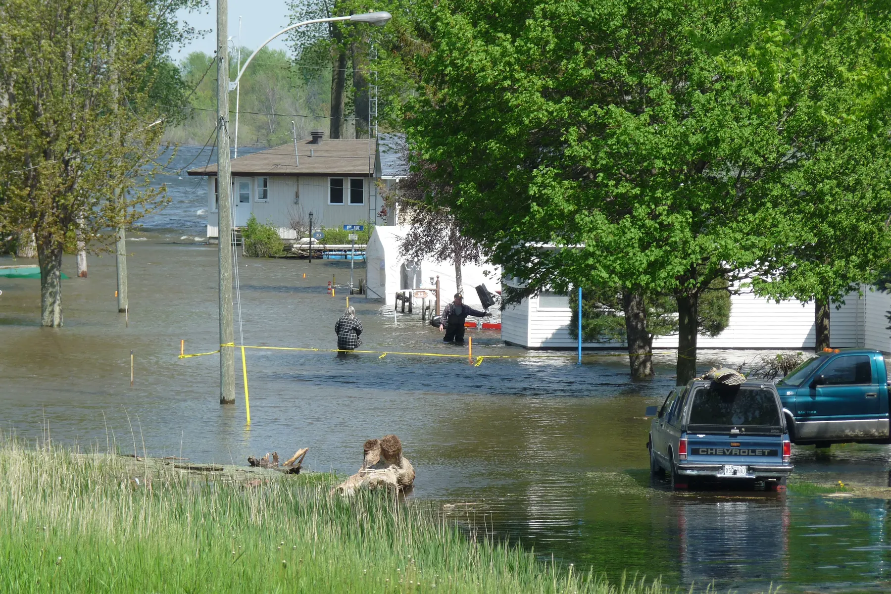
Use parcel geometry to gauge hazard proximity and aggregation.
Consistent nationwide
One standardized parcel layer behind every policy.
Built for underwriting and claims
Property verification
Reconcile a policy address to real parcel geometry.
Hazard proximity
Evaluate distance to water and other hazards.
Property verification
Validate the insured property against its parcel record.
Portfolio analysis
Map policies to parcels for geographic aggregation.
Risk-scoring inputs
Feed boundaries and attributes into your risk models.
Nationwide consistency
Standardized parcels across every state you write.
Nationwide coverage, standardized and current
The authoritative parcel grid behind landrecords.ca — a consistent base for underwriting and portfolio work.
- Critical attributes, standardized
- Boundaries, parcel IDs, area, land use, and civic address — normalized across municipalities and provinces.
- Coverage kept current
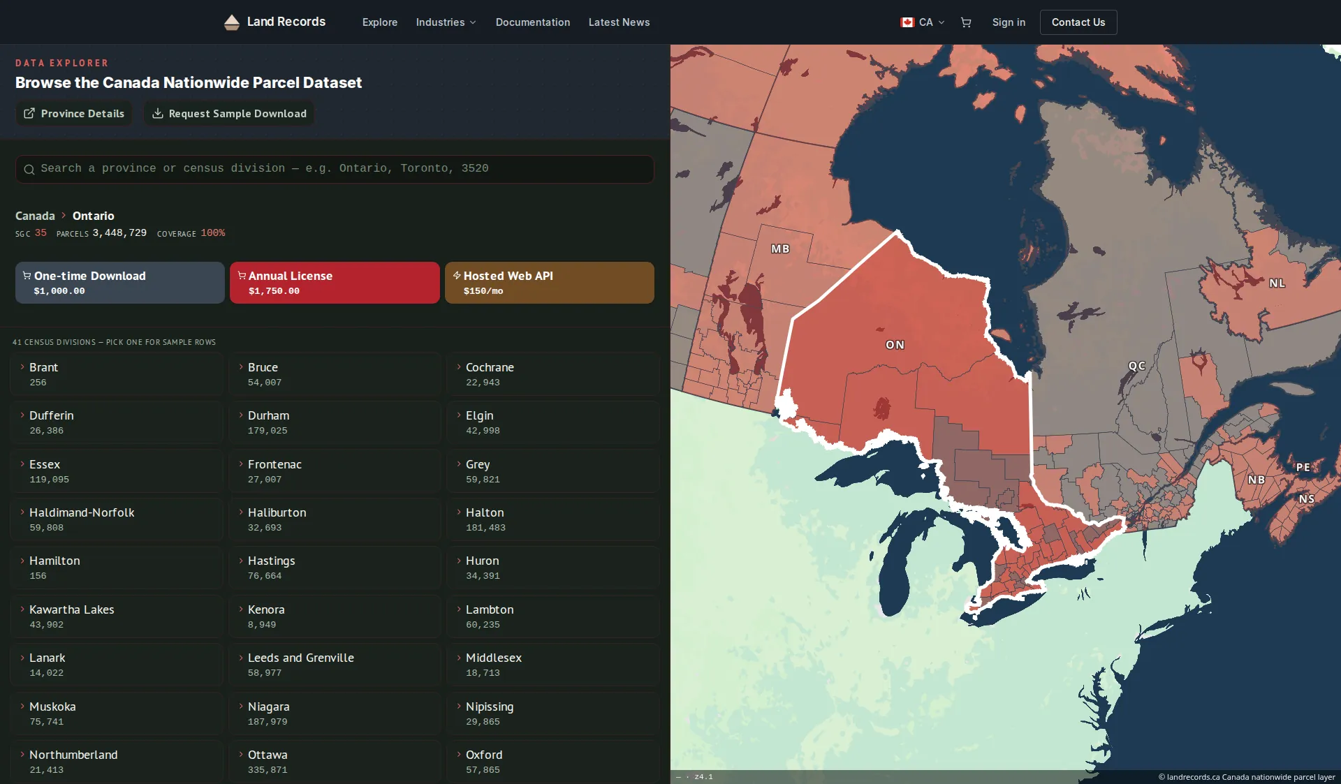
- 11M+ parcels across all 13 provinces and territories — released quarterly as bulk downloads and served by the same web service as our US layer.
- Delivery that fits your stack
- Bulk downloads, or a standards-compliant WMS / vector-tile / feature service you can wire straight into GIS.
Common questions
Can I verify a policy address?
Yes — reconcile an address to its true parcel boundary and geometry.
Does it help assess hazard exposure?
Parcel geometry lets you evaluate proximity to hazards and aggregate exposure across a book.
Can I verify the property?
Each parcel carries its ID, civic address, and — where the roll is published — assessment data, so you can validate the insured property.
How do I integrate the data with our systems?
Use bulk file downloads for your data warehouse, or the managed web service (WMS, vector tiles, and feature service) to stream parcels into your GIS and apps.
How current is the data?
The web service (API) is refreshed every two weeks. Bulk downloads are quarterly releases, and an annual license includes a year of those quarterly updates.
Standardize on nationwide parcel data
Underwriting across many provinces? We’ll help you build on one consistent parcel foundation.