
Ecommerce
Nationwide parcel data for ecommerce & logistics
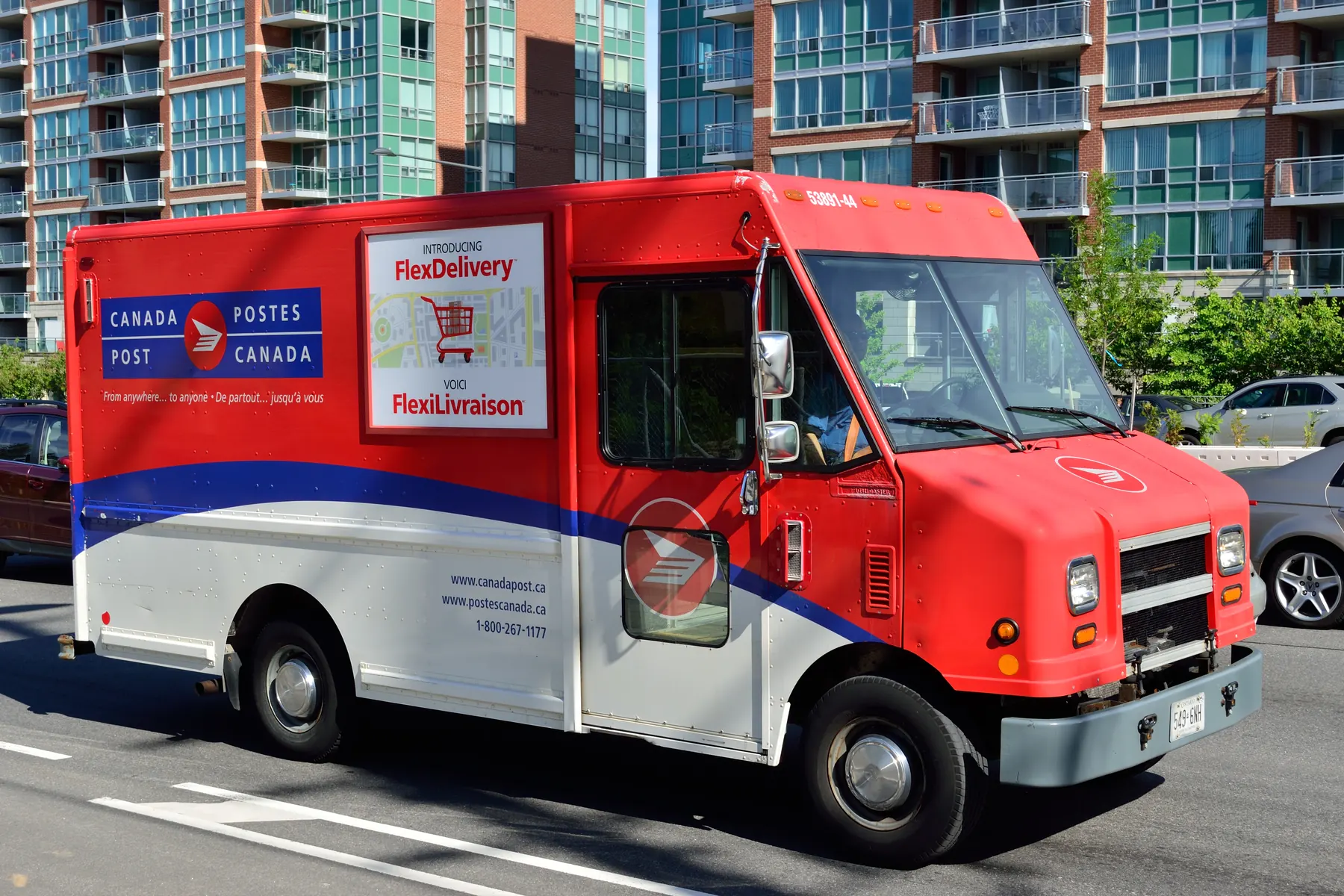
Every delivery ends at a place on the ground. Land Records helps ecommerce and logistics teams resolve addresses to real parcels and rooftops nationwide — for delivery accuracy, service-area planning, and location analytics.
- Parcels nationwide
- 11M+
- Provinces & territories
- 13
- Municipalities covered
- 2,300+
- Columns, one schema
- 100+
Sharper addresses for logistics and last-mile
Loose address data costs deliveries and margin. Resolving to real parcels and rooftops sharpens routing and analytics nationwide.
Resolve to the parcel
Reconcile shipping addresses to authoritative parcel geometry and location.
Plan service areas
Model coverage, zones, and last-mile routing on real boundaries.
Enrich your data
Join parcels to order and customer records for location analytics.
Built for commerce operations
Address resolution
Match shipping addresses to parcels and rooftops.
Last-mile routing
Plan delivery zones against real parcel lines.
Facility siting
Evaluate parcels for fulfillment centers, hubs, and micro-warehouses.
Service-area planning
Model coverage and expansion with nationwide boundaries.
Location analytics
Enrich dashboards with parcel and rooftop context.
Nationwide footprint
One parcel layer across every market you serve.
Nationwide coverage, standardized and current
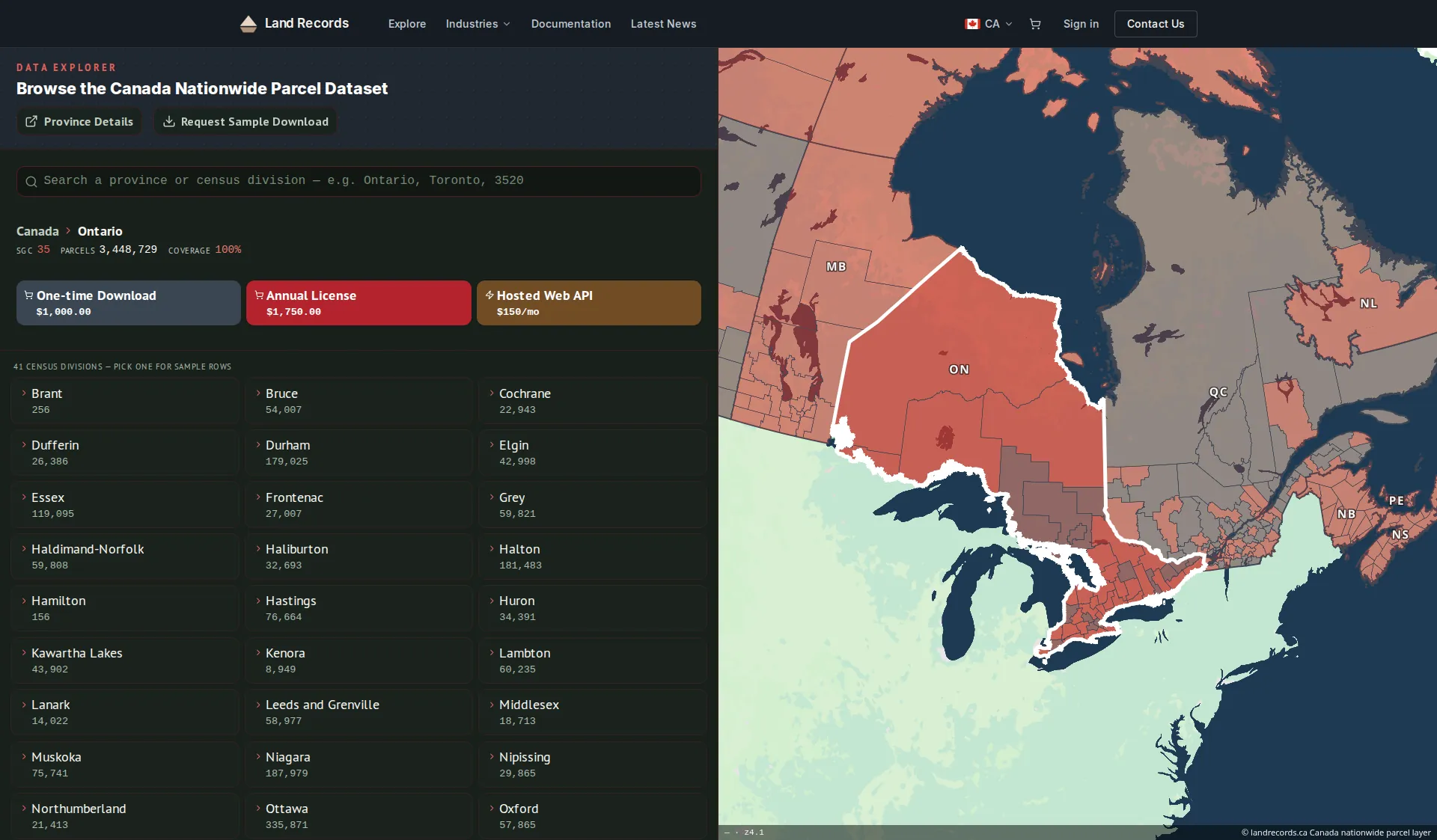
The authoritative parcel grid behind landrecords.ca — ready to enrich your logistics and analytics stack.
- Critical attributes, standardized
- Boundaries, parcel IDs, civic address, and land use — normalized across municipalities and provinces.
- Coverage kept current
- 11M+ parcels across all 13 provinces and territories — released quarterly as bulk downloads and served by the same web service as our US layer.
- Delivery that fits your stack
- Bulk downloads, or a standards-compliant WMS / vector-tile / feature service you can wire straight into GIS.
Common questions
Can you match addresses to rooftops?
Yes — resolve shipping addresses to authoritative parcel geometry and location for better delivery accuracy.
Does it help plan delivery zones?
Use nationwide boundaries to model service areas, zones, and last-mile routing.
Can I enrich our order data?
Join parcels to your customer and order records for richer location analytics.
How do I integrate the data with our systems?
Use bulk file downloads for your data warehouse, or the managed web service (WMS, vector tiles, and feature service) to stream parcels into your GIS and apps.
How current is the data?
The web service (API) is refreshed every two weeks. Bulk downloads are quarterly releases, and an annual license includes a year of those quarterly updates.
Enrich your address pipeline
Tell us about your logistics footprint — we’ll help you resolve addresses to real parcels nationwide.