
Construction
Nationwide parcel data for construction
Every project starts with the ground. Land Records gives estimators, preconstruction, and site teams the parcel boundaries, parcel IDs, and area to confirm what you are building on — and what is next door — before you mobilize.
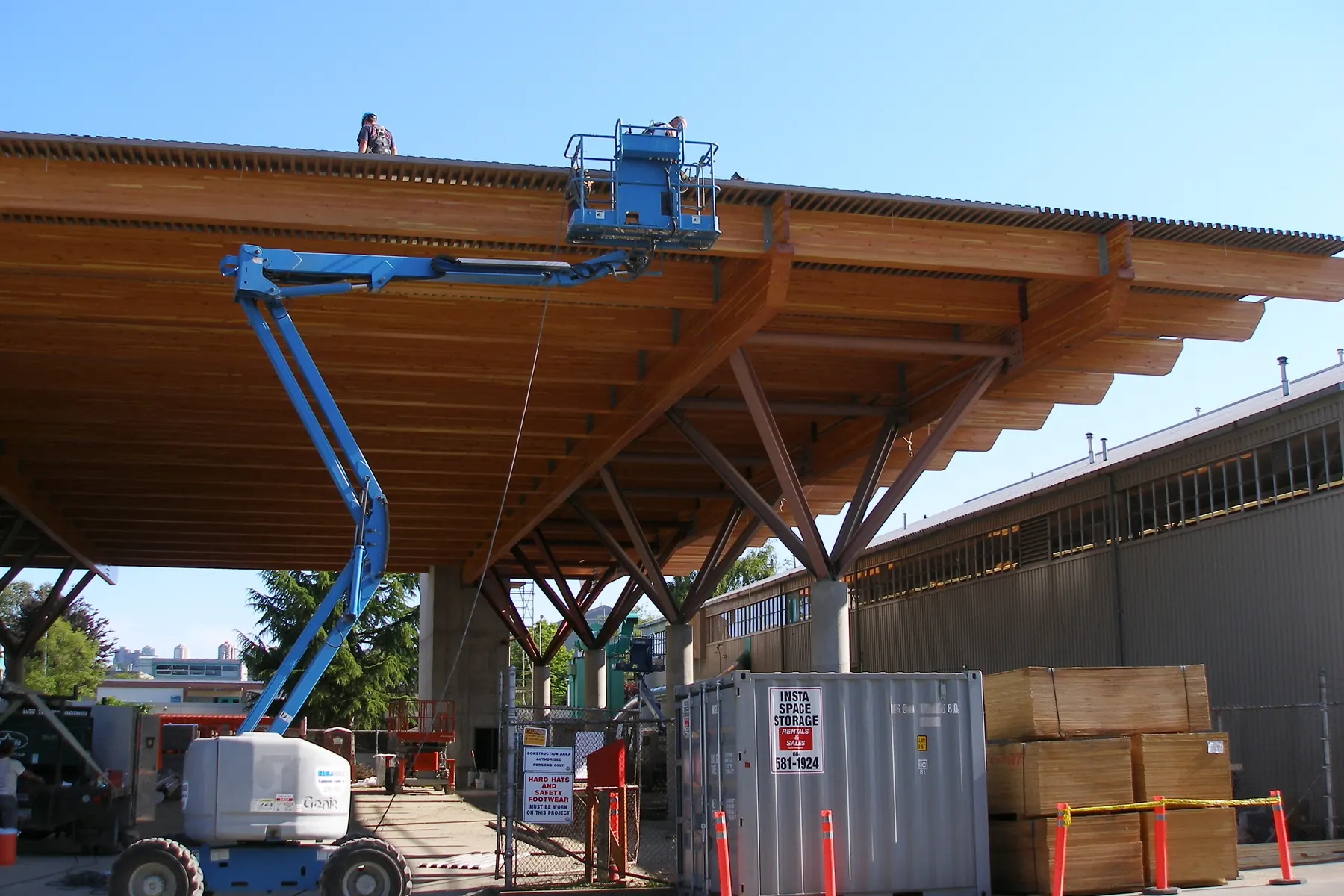
- Parcels nationwide
- 11M+
- Provinces & territories
- 13
- Municipalities covered
- 2,300+
- Columns, one schema
- 100+
Know the ground before you break it
Chasing records municipality by municipality slows preconstruction and hides risk. One standardized nationwide parcel layer keeps estimating, permitting, and field teams aligned.
Confirm the parcel
Authoritative boundaries, parcel IDs, and legal acreage for any site — so bids and site plans start from real geometry.
Know the neighbours
Identify adjacent parcels early for access, laydown yards, and easements.
One source for every team
Estimating, permitting, and the field all work from the same parcel data.
Built for how builders work with land
Site due diligence
Verify boundaries, area, and parcel IDs before committing to a site.
Setbacks & site planning
Anchor layout, grading, and setbacks to accurate parcel geometry.
Access & easements
Line up neighbour agreements against the right parcels the first time.
Staging & logistics
Plan laydown, access, and haul routes against real parcel lines.
Estimating & bids
Scope sites nationwide without a municipality-by-municipality records hunt.
Multi-site programs
Manage boundaries and parcel IDs across every job in your pipeline.
Nationwide coverage, standardized and current
The authoritative parcel grid behind landrecords.ca, in the formats your preconstruction stack already uses.
- Critical attributes, standardized
- Boundaries, parcel IDs, area, land use, and civic address — normalized across municipalities and provinces.
- Coverage kept current
- 11M+ parcels across all 13 provinces and territories — released quarterly as bulk downloads and served by the same web service as our US layer.
- Delivery that fits your stack
- Bulk downloads, or a standards-compliant WMS / vector-tile / feature service you can wire straight into GIS.
Common questions
Can I check a site before a site visit?
Yes — pull authoritative boundaries, area, and parcel IDs for any site in our coverage area from your desk.
How do I find adjacent parcels?
Every parcel carries its PIN or roll number and civic address, so you can identify neighbouring parcels — and search their owners in the provincial land registry — for access, easements, and laydown agreements.
Do you cover the whole country?
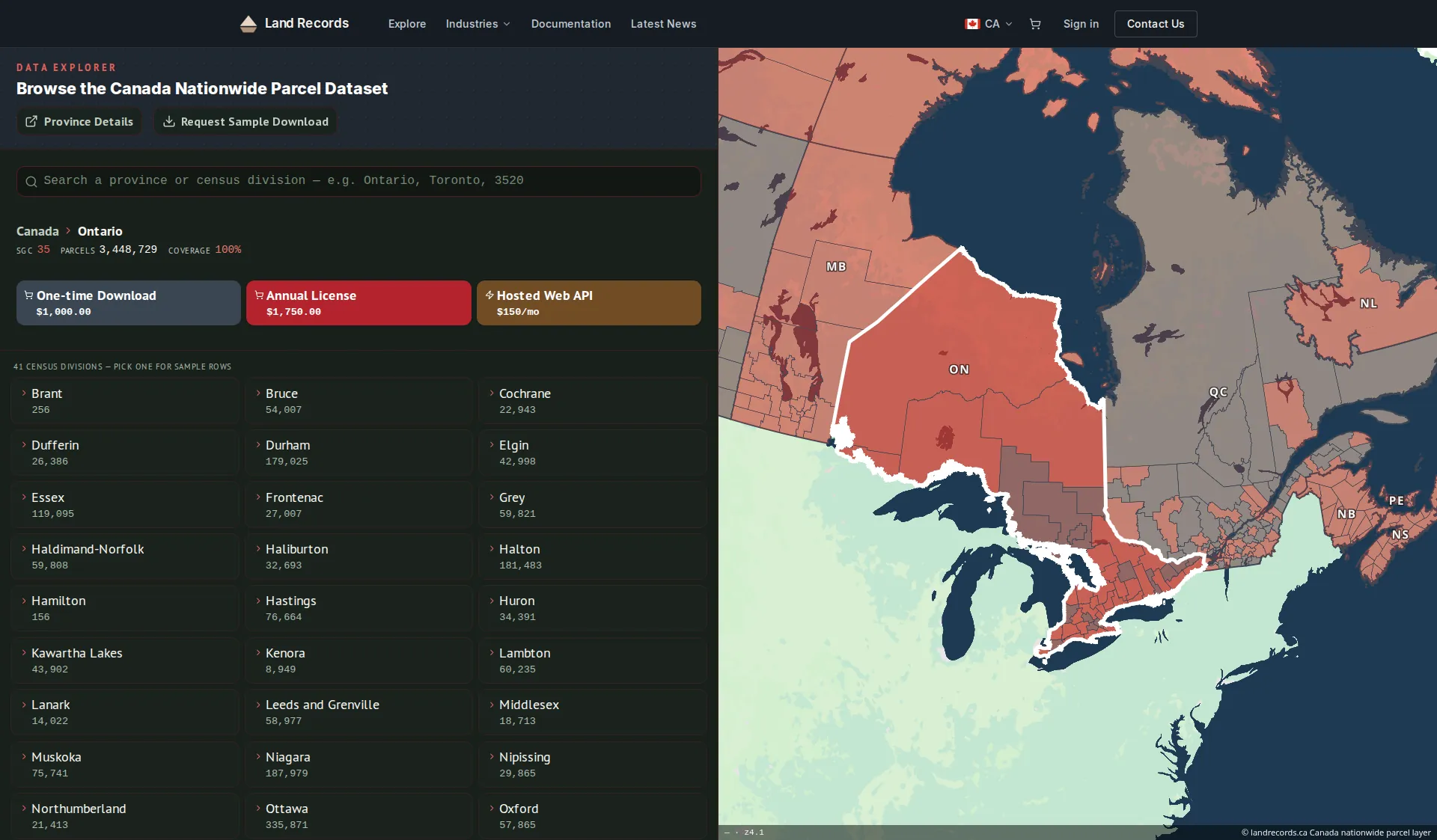
We cover 11M+ parcels across all 13 provinces and territories as a single standardized layer, in the same schema as our US layer — released quarterly for bulk downloads and served by the web service. Per-province coverage is listed on the coverage page.
How do I integrate the data with our systems?
Use bulk file downloads for your data warehouse, or the managed web service (WMS, vector tiles, and feature service) to stream parcels into your GIS and apps.
How current is the data?
The web service (API) is refreshed every two weeks. Bulk downloads are quarterly releases, and an annual license includes a year of those quarterly updates.
Put parcel data in your preconstruction process
Tell us about your projects — we’ll help you confirm sites and neighbours before you mobilize.