
Agriculture Management
Nationwide parcel data for agriculture management
Managing farmland means knowing exactly what you own, lease, and operate — across municipalities and provincial lines. Land Records gives ag operators, landowners, and farm managers nationwide boundaries, area, and parcel IDs in one consistent layer.
- Parcels nationwide
- 11M+
- Provinces & territories
- 13
- Municipalities covered
- 2,300+
- Columns, one schema
- 100+
Map fields, parcels, and area in every province
Ground scattered across counties is hard to see whole. A standardized nationwide parcel layer puts your entire operation on one map.
Plan by the acre
Accurate boundaries and legal acreage for owned and leased ground.
Track parcels
Identify adjacent parcels for leasing and expansion.
One map, whole footprint
Every county and state on a single parcel layer.
Built for farm operations
Operation mapping
Map boundaries and acreage for owned and leased ground.
Lease management
Track adjacency for leasing and expansion.
Acreage & planning
Plan inputs and reporting on accurate legal acreage.
Land scouting
Screen regions for parcels that fit your targets.
Field records
Tie field data to authoritative parcel boundaries.
Multi-municipality footprint
Bring scattered ground onto one map.
Nationwide coverage, standardized and current
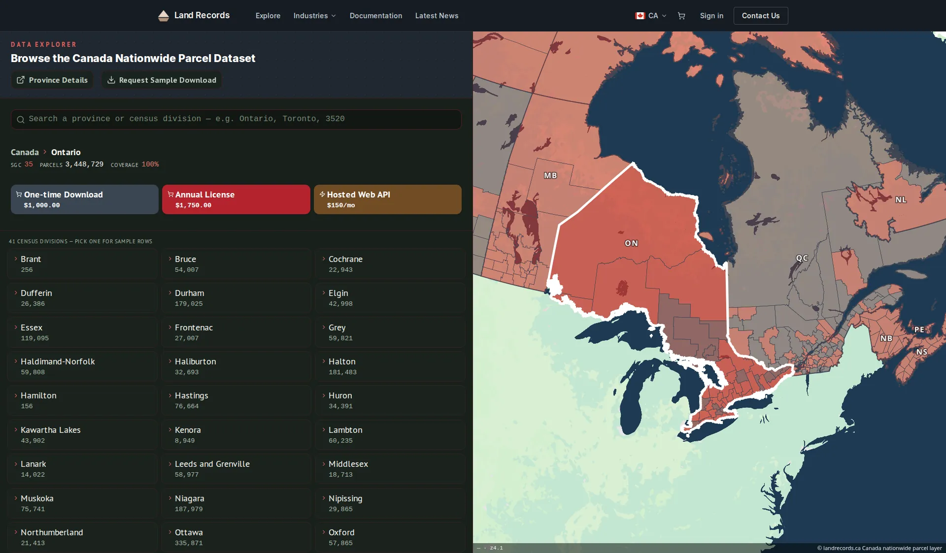
The authoritative parcel grid behind landrecords.ca — every acre you manage on one consistent map.
- Critical attributes, standardized
- Boundaries, parcel IDs, area, land use, and civic address — normalized across municipalities and provinces.
- Coverage kept current
- 11M+ parcels across all 13 provinces and territories — released quarterly as bulk downloads and served by the same web service as our US layer.
- Delivery that fits your stack
- Bulk downloads, or a standards-compliant WMS / vector-tile / feature service you can wire straight into GIS.
Common questions
Can I map owned and leased ground?
Yes — pull boundaries and legal acreage for every parcel you own or lease.
Does it support leasing?
Each parcel carries its ID and adjacency to support leasing and expansion.
Can I scout new ground?
Screen regions for parcels that fit your acreage and location targets.
How do I integrate the data with our systems?
Use bulk file downloads for your data warehouse, or the managed web service (WMS, vector tiles, and feature service) to stream parcels into your GIS and apps.
How current is the data?
The web service (API) is refreshed every two weeks. Bulk downloads are quarterly releases, and an annual license includes a year of those quarterly updates.
Bring your ground onto one map
Managing ground across multiple municipalities? We’ll help you put it all on one parcel map.